
Emergency Updates and Resources
UPDATE
10/8/2026: The Grasshopper Fire in the Mt. Hood National Forest currently has forest closures in place in areas of Wasco and Hood River County. This fire is 98% contained, but continues to burn in the Mt. Hood National Forest. Please check advisories for evacuations, business and road closures, and air quality before planning travel within the affected areas.
Additionally, the Austin Fire is affecting access to Bagby Hot Springs and areas east of Estacada. Please follow all Forest Service safety guidelines and check for closures when planning your trip.
Note from the US Forest Service: "Three large wildfires burned on Mt. Hood National Forest this summer and fall. Two of the fires were caused by human activity. Even with lower fire risk, it’s critical that visitors do their part to prevent wildfire." Please check fire restrictions and be aware of fire danger status during your visit.
Statewide wildfire maps, evacuation information, and air quality:
Oregon Office of Emergency Management Fires Dashboard
For the latest road closure information:
Oregon Department of Transportation Road Updates - Tripcheck.com
Mt. Hood National Forest Closures:
List of closed recreation areas to ensure public safety
Burn Bans and Fire Restriction Notices
Wildfire Map:
Oregon Department of Forestry - Wildfire Map
Air quality updates in the state of Oregon:
Air quality map and advisories
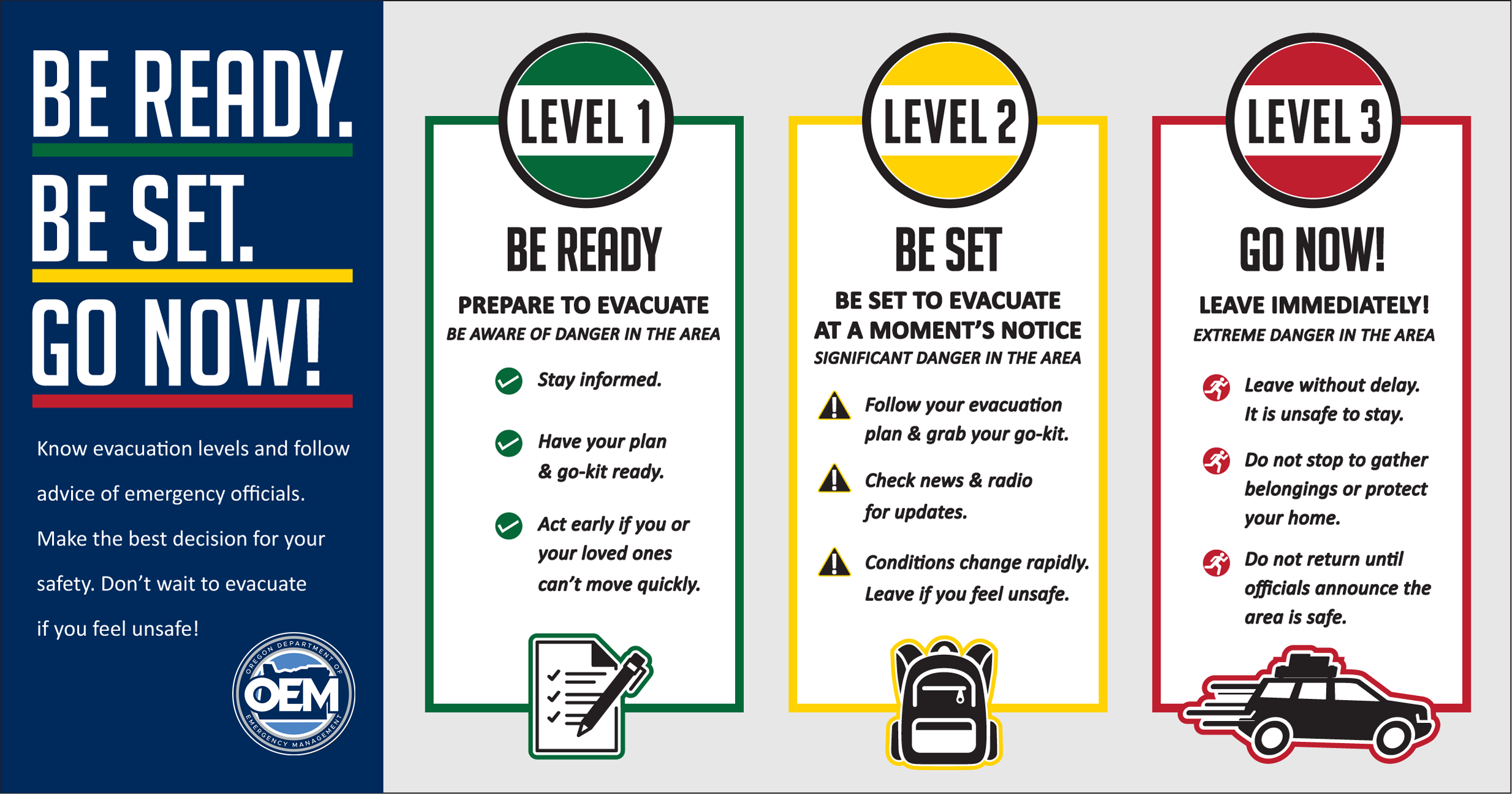
For more details on active wildfires in the Gorge:
Summer 2026: There are currently burn bans in effect in the Mt. Hood National Forest. Please DO NOT light campfires before checking for fire restrictions in your area.
The Mt. Hood and Columbia River Gorge Region includes Hood River County and areas of north Wasco County, east Multnomah County, and northwest Clackamas County.
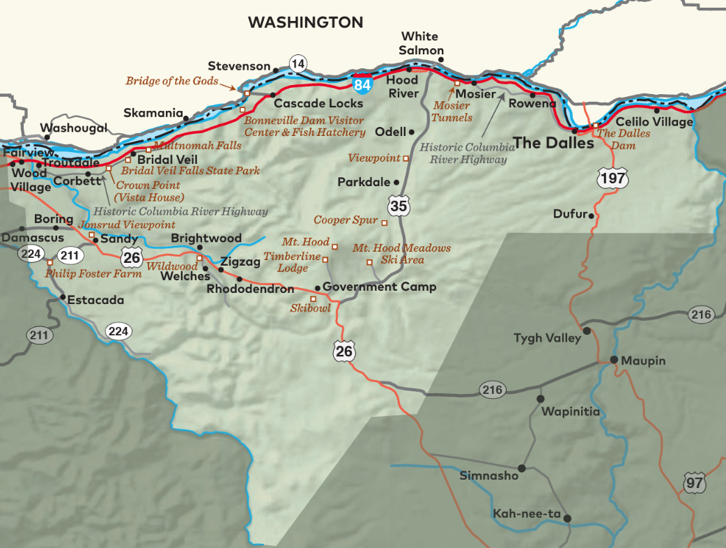
For visitor safety information and emergency alerts when visiting our neighboring areas, visit:
Hood River County: Hood River Ready
Headed west?
Clackamas County:
Mt. Hood Territory Know Now
Headed south?
Central Oregon (Wasco County): Central Oregon Wildfire & Smoke Resources
Headed east?
Eastern Oregon:
Travel Alerts
Traveling throughout the state?
Travel Oregon:
Travel Alerts